- Home
- San Joaquin County
Wildfire Mitigation Contractors in San Joaquin County, CA
San Joaquin County in 30 secondsContractors, local rules, where to get help
18 wildfire mitigation contractors are listed for San Joaquin County, 16 with a clear CSLB license.
- Fire hazard zones
- Look up your address
The Office of the State Fire Marshal's February 24, 2025 map of unincorporated San Joaquin County's Local Responsibility Area shows hazard zones, mostly Moderate with some High, along the southern edge near Tracy and in the east, while Stockton and the central valley floor are not rated high risk. Look up a parcel on the state's Fire Hazard Severity Zone viewer or ask the county Fire Prevention Bureau.
- Defensible space rules
- Source
Ordinance 4286 (County Code Title 4, Division 1, Chapter 6) declares weeds and rubbish that create a fire hazard on unincorporated lots, and on the adjoining public right-of-way, a public nuisance. The county's Fire Hazard Reduction Guidelines say parcels under 2 acres must be abated entirely; parcels over 2 acres need a 100-foot firebreak around all structures and along property lines; pasture and farm land needs 15 feet along property lines and 100 feet around structures and exposures such as barns and haystacks. Mowed growth must be kept to 4 inches or less, and the guidelines treat the fire season as year-round. The Fire Warden (the Community Development Director) and fire district chiefs send a Notice to Abate; owners have 14 days to file a written protest, after which the county can clear the lot and bill the owner, with unpaid costs becoming a special assessment and lien on the property.
More
In unincorporated San Joaquin County the working rule is the county's Weed Abatement Ordinance (Ordinance 4286), enforced by the County Fire Warden and the chiefs of the local fire districts, rather than a stand-alone defensible space ordinance. The county's guidelines require the whole lot to be cleared on parcels under 2 acres and a 100-foot firebreak on larger ones. The 2025 state maps put moderate and some high hazard zones along the southern and eastern edges of the county. Contractors below are ranked by public Google rating.
Services in San Joaquin County
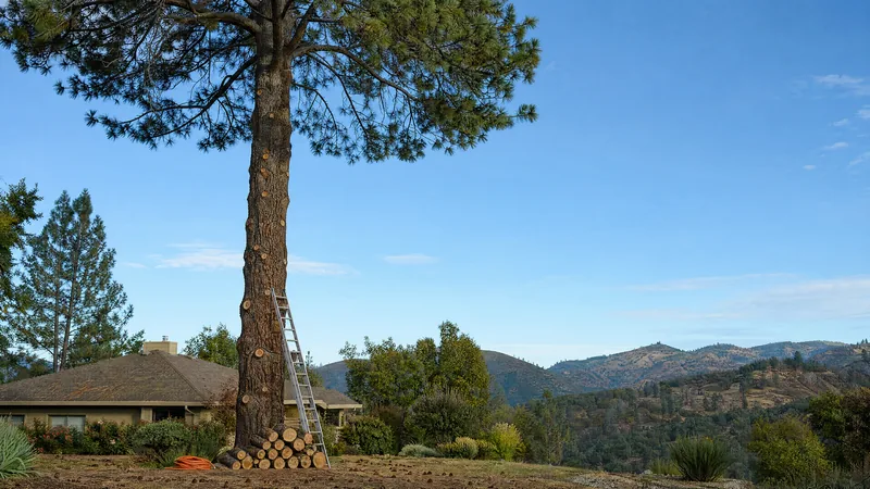
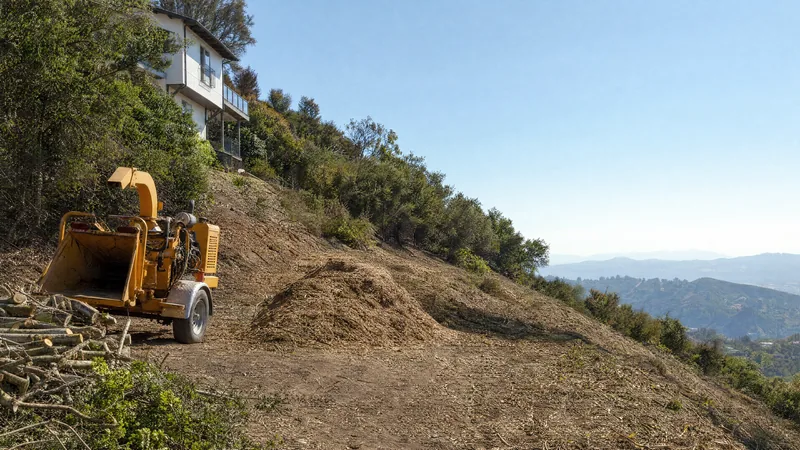
More in San Joaquin County 8
Serving all of California 8
Also on record 2
-
California Roots Tree & Landscape
-
Carrillo's Tree Care
Defensible space rules in San Joaquin County
Fire hazard zones in San Joaquin County
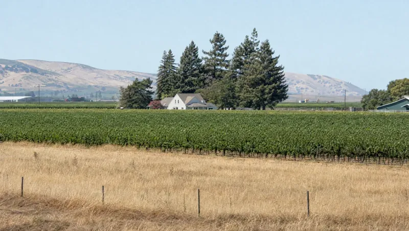
San Joaquin County is mostly flat farmland, but it is not free of wildfire hazard. The State Fire Marshal’s February 24, 2025 map of the county’s unincorporated Local Responsibility Area does show hazard zones. As Stocktonia reported, the rated land is mostly Moderate with some High areas in the south, and it sits mainly along the southern edge of the county near Tracy and on the eastern side, while Stockton and the center of the county are not rated high risk. Links to the maps are on the county Fire Prevention Division page.
Local rules and deadlines
The rule that applies to most homeowners is the county’s Weed Abatement Ordinance 4286. It treats fire-prone weeds and rubbish on unincorporated lots, and on the public right-of-way next to them, as a public nuisance. The county’s Fire Hazard Reduction Guidelines set the minimums:
- Parcels under 2 acres must be cleared entirely.
- Parcels over 2 acres need a 100-foot firebreak around structures and along property lines.
- Pasture and farm land needs 15 feet along property lines and 100 feet around structures, barns and haystacks.
Discing is the preferred method. Mowed growth must stay at 4 inches or lower, and grazing livestock does not remove the firebreak requirement. The guidelines treat the fire season as year-round. After a Notice to Abate you have 14 days to file a written protest. Otherwise the county can clear the parcel and bill you, and unpaid costs become a lien on the property.
County resources
The county Fire Prevention Bureau takes complaints at (209) 468-3380. Its page also lists contact details for each rural fire district, which often send and inspect the notices. The contractors listed below serve San Joaquin County and can disc, mow or cut firebreaks before an inspection.
Frequently asked questions 5
Who enforces weed abatement in unincorporated San Joaquin County?
The County Fire Warden, who is the Director of the Community Development Department, administers Ordinance 4286. The ordinance makes the chiefs of the local fire districts deputies, so the notice you receive will often come from your fire district. Complaints go to the county Fire Prevention Bureau at (209) 468-3380 or fire_prevention@sjgov.org.
How much of my property do I have to clear?
Under the county guidelines, a parcel under 2 acres must be abated in full. A parcel over 2 acres needs a 100-foot firebreak around all structures and along property lines, and the fire district may require the whole parcel when neighboring exposures warrant it. Pasture and farm land needs a 15-foot firebreak along property lines and 100 feet around structures and combustible exposures.
What happens if I ignore a Notice to Abate?
You have 14 days from the notice to file a written protest with the Fire Warden. If you don't protest and don't clear the hazard, the Fire Warden can order the county or its contractor to do the work. You are billed for the work plus investigation and administrative costs, and unpaid amounts become a special assessment and lien on the property.
Does mowing count, and how short?
Yes. The guidelines accept discing or rototilling (the preferred method) and cutting or mowing, but cut material must be removed or spread out and the remaining growth kept no higher than 4 inches. Dragging weeds flat is not accepted.
Am I in a fire hazard severity zone?
Most of the valley floor is not rated high hazard. The state's February 2025 map for the unincorporated area shows hazard zones mainly along the southern edge near Tracy and on the eastern side of the county. Check your exact parcel on the state's Fire Hazard Severity Zone viewer.